Installer
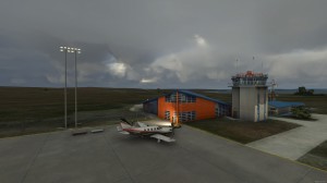
FS2002 Advanced Terrain Mesh System Scotland This is a completely new version of the Visual Flight Highlands and Islands of Scotland demo covering Skye, South Uist, Benbecula, North Uist, Harris, Lewis and the mainland coast from Ullapool to the Kyle of Lochalsh. An Islands Tour Flight Plan is provided which takes a circular route from Plockton to Stornoway via Benbecula, then back via Ullapool. Visual Flight UK & Ireland Terrain Mesh Scenery 2. 0 uses advanced data processing techniques to produce the most authentic and visually impressive terrain yet available for the British Isles. The scenery is unsurpassed in its rendition of the UK and Ireland, bringing to life the hills and mountains of England, Scotland, Ireland and Wales, as well as eliminating the airport elevation anomalies that affect other mesh sceneries. By John Farrie, Visual Flight


