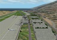
Now has towns and costal tourist centers. By Stefan Zickbert
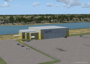
Improved version for FS2002. Includes all previous fixes and far-flung improvements. Night lighting and static aircraft included. By Don Alexander
Scenery of the airport Mannheim (Germany). Contains nearly all buildings, realistic static scenery, cars, a TVtower, a Powerplant, signs, Navaids and a documentation. By Viktor Schacht and Martin Wieczorek
Airport is for FS2002 only. We create this scenery according to the GCTS Aerodrome chart. In the next edition we hope to complete it adding other meaningful elements. Youll be able to appreciate very fine textures. Have good flights departing or arriving from to ...
30m terrain mesh scenery for the area covering the Finger Lakes area of New York State. Made from merged 7.5 minute USGS DEMS at LOD10. Version 2 expands coverage to N 42.0 to N 43.5 and W76.0 to W78.5 By Bob Shubinski (DrBob)
FRANCE. This scenery is an evolution of FRP3. For those who have already FRP3 please remove it and install this one it s an adaptation for fs2002. It contains more than 20 city from east south of France. disposition of cities are really based on map. Some churches ...
Terrain mesh file covers an area centered near Freemont, California, USA. The cities of San Francisco, Oakland, San Jose, Livermore, San Mateo, Hayward, and Sunnyvale are within the coverage of this mesh. This high resolution terrain mesh is based on USGS 30 meter ...
Moscow! Second airport of Moscow lokated 75 km from Sheremetyevo international airport is the largest and fastest growing airport in Russia, the leader in domestic and international cargo operations. Default IA dinamyc scenery with some other improvements: static ...
Venezuela. National and International new Terminal buildings with picture-real textures. Adds gateways, administrative building, control tower, firemens hangar, parkings, hills, precise topographical contours, static airplanes, taxi signs. By David Maldonado
Mesh file is centered near Albuquerque and spans other cities to the north, including Los Alamos and Santa Fe. This high resolution terrain mesh is based on USGS 30 meter digital elevation models, resampled to LOD of 10 (38.2 meters). By Orlando Sotomayor


